
Tracing a Papillion Street by Address
A Papillion street directory works best as a parcel-by-parcel trail. Start with one complete address, then keep each public record in its own lane. The assessor identifies a parcel owner and site. GIS supplies map context. The recorder supplies recorded parties and legal descriptions. VoterCheck can return limited registration information, while older reverse directories provide dated household clues. None of those sources turns an address into a complete list of people.
Make one research row for each parcel rather than one row for every apparent household. That method keeps a property owner, a mailing address, a recorded party, a permit contact, and an historical directory occupant from being treated as the same person.
- Run the address through USPS ZIP Code Lookup to standardize its street form and delivery ZIP.
- Search the address in the Sarpy CAMA property portal, then record the parcel number and legal description.
- Open the Sarpy GIS viewer to place that parcel among the street's adjoining shapes.
- Use the parcel's deed link or the Register of Deeds address and legal-description search to locate recorded instruments.
- Use VoterCheck only for its public registration or polling-place function, then compare dated directories for a past Papillion address.
Papillion Street Directory Starts With USPS
USPS offers three useful modes: address lookup, city/state lookup, and cities by ZIP. Its address form requires street address, city, and state, with optional company, unit, and ZIP fields. A unit can settle a multiple-match address. The result is a mailing standard, not confirmation that a person or business is present. That distinction matters before a Papillion street directory search moves to a county record.
Papillion also has several postal-name patterns. The city documents 68046 and 68133 as primary Papillion names and recognizes 68128, 68138, and 68157 as alternate Papillion names. Another city document includes 68059 with a narrower data scope. A postal mismatch does not decide whether a parcel lies inside the city. Use the standardized address, cross streets, parcel, and legal description instead.
Papillion CAMA Search Fields by Address
The CAMA record is the central current-property source for this Papillion street directory. The observed search page has Name, Parcel, Address, Legal, Records Per Page, and Tax Year controls. A result can include the parcel number, owner, situs address, location, legal description, map, subdivision, sale information, values, tax district, and links to deed or address reports. The parcel number is the best join key for the map and recorder steps.
| CAMA control | Observed use |
|---|---|
| Name | Last Name First search. |
| Parcel | Direct record retrieval and stable cross-reference. |
| Address | Street-based property search. |
| Legal | Lot, subdivision, or land-description route. |
| Records Per Page | 10, 50, or 200 observed. |
| Tax Year | 2020 through 2026 observed. |
Owner is a role on the parcel card. Compare situs and any mailing field displayed live, but do not treat either field as a complete current household statement.
Papillion Parcels on the GIS Map
The Sarpy GIS viewer is the map-first companion to CAMA. It supports county and municipal work across the Sarpy GIS Coalition, including Papillion, and makes public base maps and data available. The text research did not capture the live layer menu, so this Papillion street directory does not claim a specific layer that was not inspected. The safe sequence is address to map parcel, then parcel number to CAMA and the recorder.
For a whole block, capture the surrounding parcels one by one. The geometry provides adjacency. It does not prove a shared household, a shared owner, or a relationship between people on the street. Use recorded legal descriptions only when they help explain a lot, subdivision, or past transfer.
Note: Map context is valuable for a Papillion street search, but the legal description is the steadier bridge when a mailing format changes.
Papillion Deed Searches Along a Street
Sarpy's Register of Deeds has daily filings, instrument, grantor, grantee, subdivision, lands, and address modes. An address starts the search, but the parcel's legal description, lot, subdivision, or section can survive a street change. Locate the current owner as grantee, note the seller and recorded date, then search that former seller as grantee to continue backward. This is a recorded-instrument chain, not a present-residency list.
The legacy Grantor/Grantee browse covers 1857-1990 and works through party role, year, letter, and page. It can return buyer or seller, signed and recorded dates, legal description, and book/page. The index itself does not supply document images. Use its reference at the county office when a copy or earlier manuscript must be checked.
The Sarpy deed-image browse shows the book and page route.
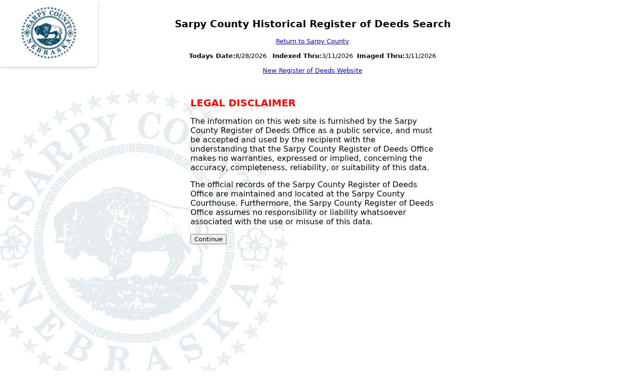
Book types include deeds, plats, mortgages, cemetery material, land entries, road books, liens, and UCC records, making the browse a useful discovery tool for a long Papillion street history.
Papillion Street Directory Evidence by Record Set
Address-keyed records supply different evidence. Use the table as a label guide, not as a promise that each source will name a current occupant. The most dependable cross-record link is parcel number plus legal description. A street name is useful for discovery, yet it may be less stable across older maps, plats, and directories.
| Address record | Local keeper | What it can show | Access channel |
|---|---|---|---|
| CAMA parcel card | Sarpy Assessor | Owner, situs, legal description, values, sales, and report links | Online portal or assessor office |
| GIS parcel map | Sarpy GIS | Parcel shape and map context | Public dynamic viewer |
| Deed and land index | Clerk/Register of Deeds | Grantor, grantee, recorded date, and legal description | Current/legacy index, office, and copy route |
| Permit or code file | Papillion Building, Planning, or City Clerk | Project address and associated parties or chronology | Accela, hotline, or records request |
| Historical directory | Library or archive | Dated address and household clue | Directory shelf, database, or research request |
Papillion Permit Records Date Street Changes
Commercial permits can add a date and project context to a Papillion address. The City directs viewers to its Accela portal. The captured commercial-permit form lists permit number, inside-city or ETJ status, zoning, floodplain, project type, address and suite, legal description, lot and subdivision, owner, contractor, architect, engineer, and project description. Those fields identify a project association, not proof that a named person resides there.
The Papillion Commercial Permit Activity page points to the city route.
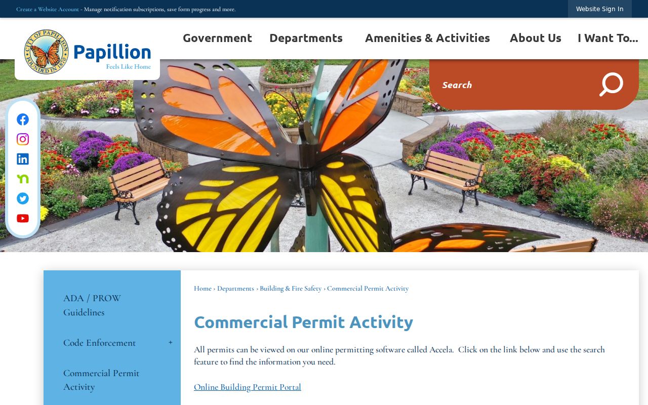
The city notes that permit activity is available online, while a project file may still need a direct records request for details not on the public screen.
The Papillion Accela portal is the live municipal search entry point.
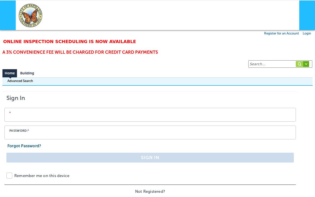
Its dynamic field list was not captured in the research, so search controls should be verified live before a Papillion address is used.
Papillion Planning Records Add Land Context
Papillion Planning is the right city handoff for subdivision, zoning, redevelopment, and some address-history questions. The department is at City Hall, 122 E 3rd Street, and the captured planning contact is 402-597-2077. Washington Street, Highway 370, 6th Street, and the downtown railroad context appear in official city history as development corridors. Those cross-street anchors can assist an old-directory or plat search.
The research did not locate a formal Papillion street-renumbering archive, a complete address-continuity map, or a fully enumerated GIS layer panel. Do not invent a renumbering year. Use parcel, lot/block, subdivision, legal description, plats, nearby cross streets, and USPS standardization to compare old and new forms.
The Papillion Planning Department provides the local land-use handoff.
Planning records can explain a development change along a street without identifying a current household.
Papillion VoterCheck Is Not a Street Roster
VoterCheck's residential-location mode can return a polling location, and its registration mode uses first name, last name, and county. The public result has narrow status and address-related purposes. Nebraska's voter register is inspectable, but copying is limited by §32-330. The statewide full voter file is a restricted request with a $500 fee and cannot be posted, displayed, or used commercially.
Address Confidentiality Program participants and confidential voters are protected. A no-match can reflect spelling, a selected-county issue, protected status, or another record condition. It does not license an assumption about a Papillion address. Use the voting layer only for its stated function and preserve the returned status label.
Papillion Street Requests Need the Right Office
The Mayor's Hotline and City Clerk accept Papillion open-records submissions for a specific municipal record. Its categories include code violation, illegal construction, zoning or floodplain information, police or public safety, and other city-service issues. Contact information is required, personal contact data is withheld as allowed, and abusive use is prohibited. After-hours entries are received the next business day.
County records should go to the responsible Sarpy department under the Nebraska Public Records Act. Sarpy says it responds within four business days, with an estimate and opportunity to narrow a large request. State the address, date range, record type, and known parcel or instrument reference. That produces a better request than a general demand for everything connected to a street.
The Papillion request tracker is one municipal handoff for an address-specific service concern.
The tracker supports a city record or service route, while county deed and assessor work stays with Sarpy offices.
Papillion Street Directory Privacy Limits
A street-by-street search can establish a parcel, owner-of-record, recorded transfer, project contact, or dated directory association. It cannot reliably identify every person connected to a home. DMV information is protected by Nebraska's motor-vehicle disclosure law. Protected addresses, sealed material, and confidential voter records are not gaps to work around. A result must stay within the record's stated purpose.
- Parcel
- The county's property identifier, used to join map and assessor records.
- Situs address
- The physical property location, which can differ from a mailing address.
- Plat
- A recorded map that describes lots, blocks, subdivisions, or land divisions.
- Criss-cross directory
- An address-first directory section that supplies a historical association.