
Papillion Neighbors: What a Block Record Shows
A block-level search works when each source is asked a narrow question. Sarpy County GIS supplies map context, CAMA supplies the county parcel record, and the Register of Deeds supplies recorded land history. Nebraska's voter tool has a different role: it can route a residential location to a polling place or return limited registration information when a lawful public lookup succeeds. Papillion's association and grant pages describe civic areas and public projects, not household rosters.
| Source | What It Shows About a Block | Access |
|---|---|---|
| Sarpy County GIS | Parcel shapes, adjacency, and map context after an identify action | Public dynamic viewer |
| Sarpy CAMA | Parcel number, owner-of-record, situs, legal description, class, value, and related reports | Online search and Assessor office |
| Register of Deeds | Recorded parties, dates, legal descriptions, and book or instrument references | Online index, office computers, and copies |
| Nebraska VoterCheck | Polling-place route and limited registration information as returned | Public lookup, subject to state limits |
| Registered associations | Defined civic area and association contact for city notice purposes | City registration page, not a roster |
None of these sources is an occupancy roll. An owner-of-record may not be at the situs address, a mailing address appears only if the live CAMA card exposes it, and a recorded party may be historical. Treat a neighbor as an adjacent map parcel or a property on the same block, never as a conclusion drawn from shared ownership or a third-party list.
Find Adjacent Parcels for Papillion Neighbors
Begin with the target address in the Sarpy GIS viewer. The safe outcome of that first step is spatial: the target parcel, its boundary, and nearby parcel shapes. Use the identify result to obtain the parcel reference, then open the property record separately. The research did not capture the viewer's live layer names, so this page does not claim a particular zoning, flood, district, or neighbor layer. The map is geographic evidence, not a person search.
- Enter and check the street address, including directional and suffix details where relevant.
- Identify the target shape, then note its parcel number and legal or subdivision description.
- Select only the directly adjacent or same-block parcels needed for the question, recording one row per parcel.
- Take each parcel number to CAMA rather than assuming the map label answers an ownership question.
Note: Sarpy GIS is map-first, so available controls and layer labels can change without making every visible layer a person record.
Papillion Neighbor Parcels in the CAMA Record
Search Sarpy CAMA one parcel at a time. Its captured search modes are Name, Parcel, Address, and Legal, with tax-year options from 2020 through 2026. For a nearby lot, retain the parcel number, situs address, legal description, subdivision, owner-of-record, property class, values, and map relationship. Check whether a mailing address is actually shown on the live card before recording it. CAMA can also link to deeds, address reports, and market-sales reports, but those links identify property evidence rather than a present household.
The parcel number is the reliable join between map work and the assessor record. A same-block group of parcels does not establish shared ownership, and matching owner names do not establish a shared residence. This slow, parcel-by-parcel approach better preserves what the records mean for Papillion neighbors.
Map a Papillion Block Through Parcels and Records
When a parcel needs historical context, shift from CAMA to the Sarpy Register of Deeds index. Use the street address only to get started, then carry forward the parcel's legal description, subdivision, lot, or instrument reference. The current index was observed through March 11, 2026, and the legacy Grantor/Grantee Index covers 1857 through 1990. A recorded buyer or seller is a party to an instrument, not proof of who occupies the property now.
- Map the target and adjacent parcels in GIS.
- Open CAMA by parcel number and preserve the legal or subdivision identity.
- Use CAMA's deed link or the ROD address and legal searches where recorded history matters.
- Record grantor, grantee, instrument or book reference, and recording date as historical evidence.
- Use the Papillion street directory walkthrough when the task becomes a whole named street rather than an immediate block.
For older material, the legacy index can point to a book and page, while office computers and copy channels remain important when an image is not readily available online. The Recorder's office is the custodian for its records and does not provide title advice.
Papillion Neighbors and the VoterCheck Boundary
Nebraska VoterCheck is useful for the limited question it was built to answer. Registration Information takes first name, last name, and county. Its separate Polling Place Search asks for a residential location and returns locations when the address is recognized. A successful public result may describe registration, address, party association, ballot status, and polling location. A no-match may reflect spelling, county selection, inactive or protected status, or another reason, so it is not a finding about a household.
The state's voter-file request information describes a different product: the full file costs $500 and carries strict use restrictions. It is limited to elections, political activity, voter registration, law enforcement, or jury selection, and it may not be posted, displayed, used commercially, or put online. Section 32-330 permits inspection of the register while limiting copying, and confidential voters and Address Confidentiality Program participants are protected.
The state's voter-file request page explains those limits.
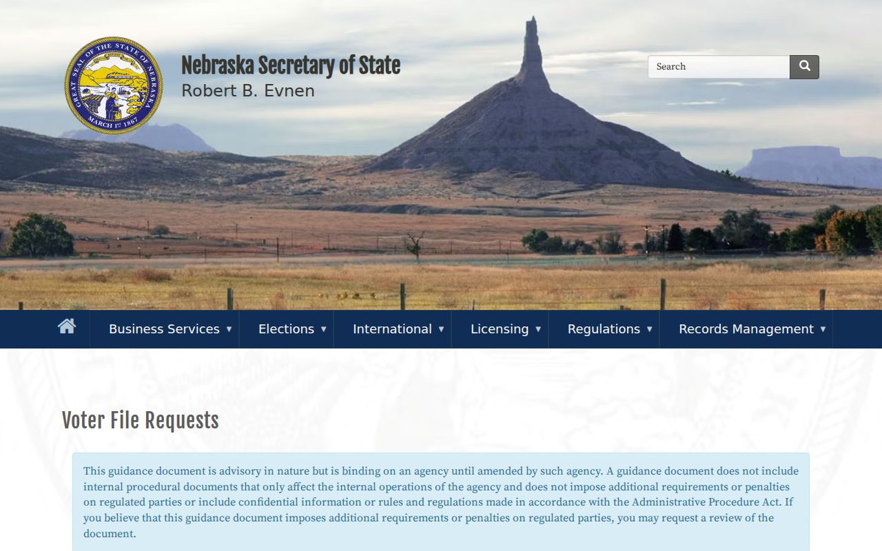
That distinction keeps a polling-place lookup from being treated as a directory of Papillion neighbors.
Papillion Neighborhood Associations as a Civic Layer
The city's registered-association program adds a useful geographic layer for readers interested in local civic notices. The captured city listing includes Eagle Crest Homeowners Association for Lots 1-201 Eagle Crest. Registration concerns redevelopment hearing notices under Nebraska Revised Statutes §§18-2101 through 18-2144. Only an association within one mile of proposed redevelopment receives notices unless another rule applies, so registration is not a map of every community group in Papillion.
| Association or City Route | Area or Role | Contact and Boundary |
|---|---|---|
| Eagle Crest Homeowners Association | Lots 1-201 Eagle Crest in the captured registration listing | Association contact is held for city notice service, not presented as a membership roster |
| Papillion Planning Department | Registration and redevelopment-notice questions | 122 E 3rd Street, 402-597-2077 |
| City Hall | City registration route | 122 E 3rd Street; the one-mile notice rule governs ordinary reach |
The registered neighborhood associations page shows the city-facing program.
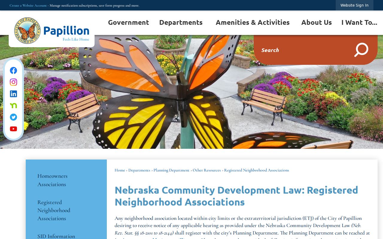
It supplies an association contact and service method for notices, not an open list of its members.
Papillion Neighbors Can Trace Public Civic Projects
The Neighborhood Grant Program is another way to learn about an organized community area's public project without assuming anything about individual residents. The city offers up to four $2,500 matching grants, one per ward, for organized associations, community areas, neighbors, civic groups, and public-benefit projects. An application identifies a coordinator and volunteers and requires receipts, with a minimum 45-day period. Food, alcohol, and gasoline cannot be used as matching funds.
The official grant page documents the public-project route.
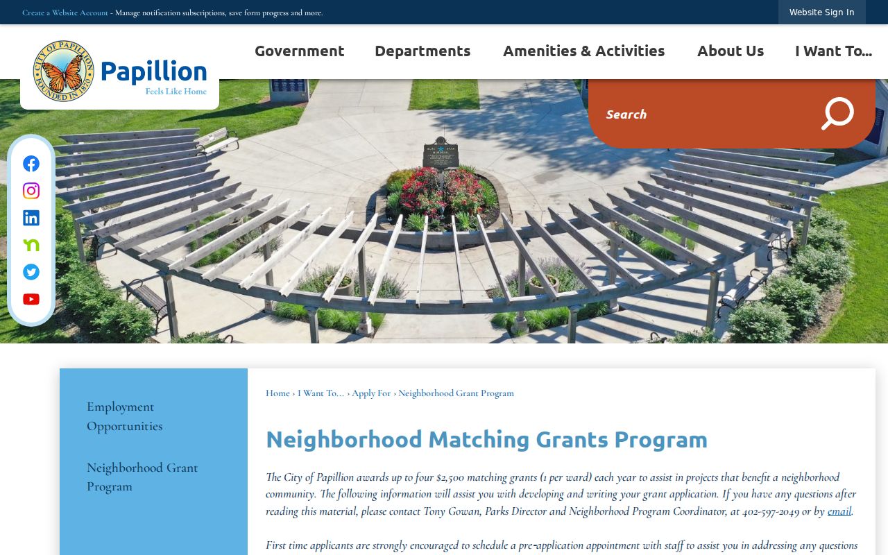
Applications go to City Hall at 122 E 3rd Street or by fax to 402-597-2049, which makes this a city-program record rather than a membership source.
Papillion Neighbors: Records Requests When a Block Source Is Missing
Not every city record can be searched from a parcel map. For a specific municipal record, the Papillion open-records route directs requests through the Mayor's Hotline or a completed form to the City Clerk under Nebraska Public Records Act §84-712. State the record sought, its address or date range, and the city department likely to hold it. The Hotline covers service categories such as code, zoning, floodplain, construction, and public safety, but it is not a resident directory. Accela permit search fields were not fully captured, so they are not claimed here.
The city's public-request page is the documented route to the Clerk.
For a department handoff, the Papillion staff directory has Category, First Name, and Last Name search fields and lists current municipal contacts.
City Hall is at 122 E 3rd Street, general contact 402-597-2000, and the City Clerk number listed in the directory is 402-597-2021.
Papillion Neighbors: Parcel Questions and Sarpy County Access
For county-held records not available in a portal, Sarpy asks a requester to contact the responsible department or County Clerk under the Nebraska Public Records Act, §§84-712 through 84-712.09. County guidance says it will respond within four business days. For an extensive request, it provides an explanation, estimated completion date or charge, and an opportunity to modify or prioritize the request. The research records clerical time at $15 per hour, billed in half-hour increments, copies at $0.25 per page, and deposits above $50 when required.
Use the Sarpy public-records procedure for the county route. The Assessor is at 1102 E 1st Street, Suite 2, Papillion, 402-593-2122, Monday through Friday from 8:00 to 4:45; the Clerk/Register of Deeds is at 1102 E 1st Street, 402-593-2183, during the same hours.
Official Evidence Versus Commercial Neighbor Categories
Official county sources identify a particular record type and custodian. GIS gives the parcel relationship, CAMA identifies the county's property record, and the Register of Deeds identifies a recorded instrument. Commercial neighbor-search categories commonly combine old addresses and other data, but their labels should not be mistaken for a county conclusion. A report that lacks a parcel number, legal description, record date, or custodian cannot replace the primary source.
| Source Type | Useful For | What It Cannot Establish Alone |
|---|---|---|
| Official parcel and deed records | Owner-of-record, legal identity, recorded dates, and lot relationship | Current occupancy or household membership |
| Official voter tools | Registration or polling information only as the public result returns it | An unrestricted block list or a protected address |
| Commercial search category | A lead that requires independent checking | That an address, name, or relationship is current or correct |
Protect a Papillion Property Research Trail
Sarpy County's free Fraud Notify service sends an email when a filing appears under a subscribed person or business name and includes a document-image link. It is an alert for recorded-name activity, not a title guarantee and not a way to monitor nearby households. The county also says it does not send mail selling the service, a useful warning when a property record prompts an unexpected offer or payment request.
The county Fraud Notify page explains the no-cost sign-up.
A suspected filing problem should be routed to the Register of Deeds, a title provider, an attorney, or local law enforcement as appropriate.
Privacy Limits for Papillion Neighbor Research
Nebraska public access is record-specific. The Address Confidentiality Program provides a substitute address and mail forwarding for eligible participants, while keeping actual residential addresses confidential in public records. Section 32-330 allows inspection of voter registers but limits copying, and §32-331 protects confidential voters. Utility, delivery, juvenile, sealed, medical, and other nonpublic records are not shortcuts around those boundaries. A no-match must not be treated as evidence that a protected person is absent.
Lawful use. Use Papillion neighbor records for property curiosity, family research, civic awareness, or personal safety. Never use an address, voter result, or protected record to watch, harass, intimidate, or harm anyone.
Nebraska law addresses harassment in §28-311.02 and stalking in §28-311.03. The lawful next step is to verify a needed record with its custodian, not to assemble private details about a person.