
Papillion Previous Residents by Era
One address can have several useful trails, and each answers a different question. Sarpy CAMA offers the current parcel and recent tax-year view. The Register of Deeds records the party-to-party land chain. A directory can place an occupant at an address in a selected year, while a census gives a household view during released federal census years. For early Papillion work, archive tax records, surveyor maps, and handwritten county material can be more useful than a modern web result. Record the source type beside every name.
| Source | Years It Covers | Where Held | What It Shows |
|---|---|---|---|
| ROD current index | Current, observed through 3/11/2026 | Sarpy portal | Instrument, parties, dates, legal description, index data |
| Legacy Grantee/Grantor index | 1857-1990 | Sarpy portal and office | Recorded party-to-party deed trail and book/page |
| ROD hand manuscripts | Back to 1857 | Courthouse office | Early deeds and recorded instruments |
| Sarpy CAMA tax years | 2020-2026 captured choices | Assessor portal | Parcel, owner, value, sales, and permit links |
| RG209 surveyor maps | 1915-1959 | History Nebraska microfilm and boxes | Plats, land ownership, and map context |
| RG209 assessment and tax records | 1859-1944 microfilm; 1955-1976 series | History Nebraska | Assessment, tax, delinquent-tax, and sale evidence |
| Bellevue/Sarpy directories | 1963-1989; 1991-2007; 2009-current | Omaha Public Library | Names, addresses, and directory household clues |
| Early directory holdings | 1885, 1961, 1980, 1981 | Nebraska State Genealogical Society | Older Papillion and Sarpy directory references |
| Papillion Times microfilm | 1937/1940-2003 reel ranges | History Nebraska | Notices, transactions, obituaries, and civic names |
| Federal census | Released decennial schedules through 1950 | National Archives and library databases | Household and address context |
Begin in the source nearest the period in question. A recent address normally starts with CAMA and the current deed index. A mid-century household often needs directories, newspaper microfilm, and a released census. A nineteenth-century parcel may require deed books, assessment material, or a History Nebraska reference request.
Papillion Parcel Records First
Freeze the current parcel before trying to name past residents. The Sarpy CAMA search accepts Name, Parcel, Address, and Legal searches. Its captured results can include parcel number, owner, address, location, legal description, map, subdivision, sales information, values, tax information, linked deeds, building permits, and assessment milestones. The tax-year selector displayed 2020 through 2026 during inspection. Parcel number and legal description are the most stable join keys when an address changes.
Copy the street address as found, parcel number, legal description, current owner, and any mailing address only when the live card actually displays it. Also preserve the sales date, deed reference, permit date, and assessment year if visible. An owner shown in CAMA is an owner-of-record, not automatically a current or past occupant. Keeping that label makes later comparisons with previous residents and historic directory entries much more honest.
The Sarpy County Assessor is at 1102 E 1st Street, Suite 2, Papillion, with weekday hours of 8:00 to 4:45 and phone 402-593-2122. The office is a practical fallback when a web card does not expose enough parcel detail.
Trace Papillion Property Records
The backward deed process starts from the current parcel, not from a guessed surname. Use the current deed link or the Sarpy Register of Deeds Lookup address or legal-description route. Find the current owner as the grantee, the person or party receiving the property. The seller shown on that instrument is the grantor. Search that prior grantor as the next grantee to locate the earlier purchase, then repeat. Capture the instrument number, recorded date, book/page, deed type, parties, and legal description at every turn.
- Open CAMA and copy the parcel number, situs address, legal description, current owner, and linked deed information.
- Search the current owner as grantee in the recorder index, or use the address and legal-description search to locate the acquisition record.
- Record the grantor, grantee, instrument number, recording date, book/page, and deed type before moving backward.
- Search that grantor as a grantee for the earlier acquisition, matching legal description and parcel clues before accepting the result.
- Repeat until the trail reaches the 1857-1990 legacy index, a manuscript volume, or an archive source that needs office assistance.
- Grantor
- The party transferring an interest in a recorded instrument, commonly the seller in a deed.
- Grantee
- The party receiving an interest in a recorded instrument, commonly the buyer in a deed.
- Chain of title
- The ordered sequence of recorded transfers connecting one owner of a parcel to an earlier owner.
- Legal description
- The lot, block, subdivision, or land description used to identify land in records when a street address changes.
Papillion Legacy Records, 1857-1990
Sarpy's legacy Grantee/Grantor Index is a key bridge for previous residents research because it reaches from 1857 through 1990. Browse by grantor or grantee, then select a year range, letter, and page. Its help material says a listing can identify the seller or buyer, signed and recorded dates, legal description, and book/page. The browse page is an index, not a deed-image viewer, so it tells the researcher how to request or inspect the underlying record rather than replacing it.
The Sarpy legacy grantor and grantee index shows the historical browse route used to follow the party names backward.
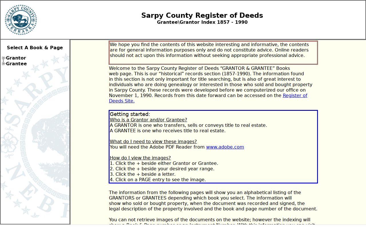
Use the index reference as a citation, then compare its legal description and dates with the current parcel record before placing it in the chain.
Note: The 1857 starting point is a reliable cutoff for the online historical browse, not a claim that every earlier paper record is digitized or that every result includes an image.
Papillion Recorded Deed Books
The Register of Deeds supplies several access channels after the index identifies a document. Its current portal was observed indexed and imaged through March 11, 2026. The separate book-image browse has controls for book type, section, book, page, and A-Z. Captured categories include deeds, plats, cemetery books and indexes, land-entry material, road books, tax liens, UCCs, mortgages, and construction-mechanics liens. Those categories can matter when a present-day parcel began as rural land or was later subdivided.
The legacy index help page explains the book/page route when an index entry needs a document copy.
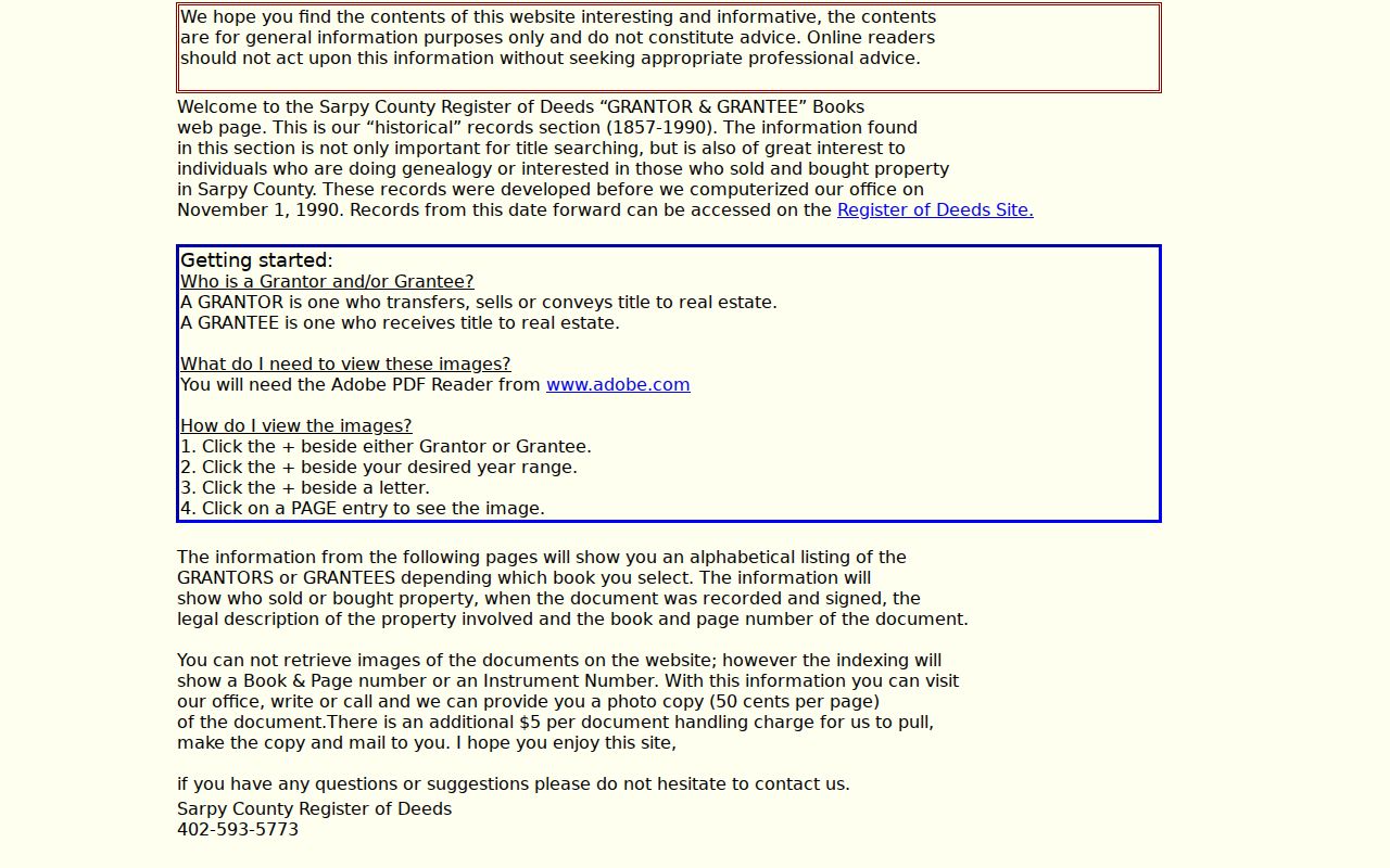
The office can provide a photocopy from a book/page or instrument number. Current certified-copy guidance lists $1.50 per page and asks that an email request to recorder@sarpy.gov include the instrument number or address or legal description, delivery or pickup direction, and payment choice. Confirm any amount against the current fee schedule before ordering.
The Sarpy County Clerk/Register of Deeds is at 1102 E 1st Street, Papillion, NE 68046, phone 402-593-2183, weekdays 8:00 to 4:45. Office computers are important for early deed images, and Sarpy's written public-records request procedure is a fallback for material not available through the public index.
Papillion Previous Residents in Directories
Recorded ownership is only one half of a house history. The Omaha Public Library Genealogy and Local History Room holds Bellevue/Sarpy County directories for 1963-1989, 1991-2007, and 2009-current. The Nebraska State Genealogical Society lists Bellevue Papillion Sarpy County directories for 1885, 1961, 1980, and 1981. These runs do not prove that every Papillion street appears in every volume, but they give practical dates between census years.
The Nebraska State Genealogical Society holdings list documents the early and bridge-year directory references.
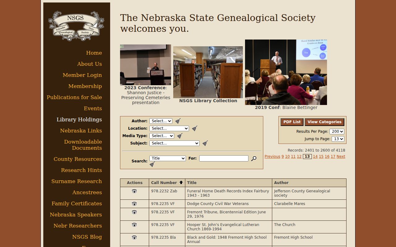
Use the listed years as a research lead, then ask the holding institution about access and the specific volume before assuming a complete address run.
OPL's property-history guidance says a city or reverse directory can identify a person, spouse, business, occupation, and address, with owner or renter symbols where the volume provides them. An address-to-occupant line is an occupant clue, not title proof. The directory collections themselves are described in the Papillion Directory Book.
Papillion Records: Census Pairing
Pair a directory year with the nearest released federal census year, then compare the address, household members, and date before treating the names as the same household. The available released federal census runs through 1950. For the earlier period, the rare 1885 directory lead, Sarpy county material, and local newspapers can fill gaps rather than forcing a conclusion from a later address. Keep the directory year and census year as separate entries in the research log.
- Find an address or surname in a Bellevue/Sarpy directory and copy the year, spelling, and every symbol used in that volume.
- Check the directory's front and back matter for abbreviation keys, new-building information, and address notes.
- Compare the closest released census schedule for household composition, noting that a census and directory were not always gathered on the same date.
- Use the Sarpy County Museum research service or History Nebraska's microfilm list for notices, obituaries, and local reporting.
- Mark each finding as owner-of-record, occupant-listed, household member, historical association, or an unresolved lead.
The museum reports Papillion Times coverage from 1900-1988 and lists a separate 1897 entry whose printed dates appear internally inconsistent. History Nebraska lists Papillion Times microfilm from 1937 or 1940 through 2003 across reel ranges. Verify the specific holding with the institution rather than silently correcting the museum listing.
Papillion Address Records, Legal Descriptions
House-history work in Papillion needs a geographic bridge. Papillion was platted in 1870, incorporated in 1883, and became Sarpy County's seat when the courthouse moved from Bellevue on January 1, 1876. Washington Street, Highway 370, 6th Street, and the downtown railroad setting are documented development corridors. These changes help explain why a historic directory, rural route, lot description, and modern mailing address may not use the same words.
No official source located a complete Papillion street-renumbering year or annexation and renaming crosswalk. The documented method is to preserve the legal description, parcel, lot, block, subdivision, cross streets, and old street-name variants. Sarpy RG209 adds surveyor maps for 1915-1959 plus assessment and tax material from earlier periods. Use the History Nebraska RG209 finding aid for an archive route when the digital trail ends.
Note: A changed street number is a reason to compare lot and block evidence, not proof that two similarly named addresses are the same property.
Papillion House History Records
Previous residents research has a human use when it supports family history, a house history, estate and heir work, or a documented neighborhood story. It also benefits from a confidence label. A deed party, an assessor owner, an address in a directory, a mailing address, and a newspaper mention are not identical evidence. The Omaha property-history method suggests combining tax records, directories, plats, newspapers, census schedules, and historical society material, then allowing a gap where the evidence does not connect.
Sarpy also offers a free Property Fraud Alert sign-up. It sends an email, with a document-image link, when an instrument is recorded in the subscribed person or business name. It is a current-record notification tool, not a substitute for rebuilding a historic chain and not proof of ownership by itself.